Historical maps
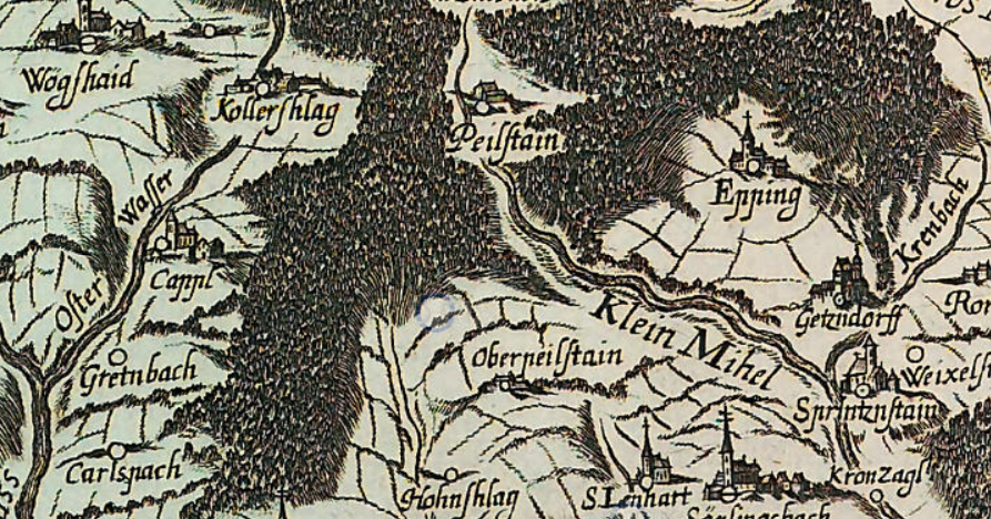
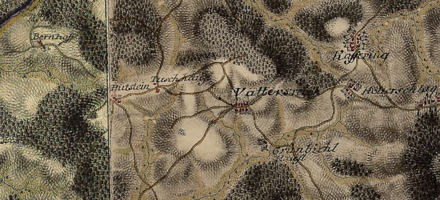
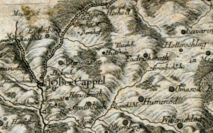
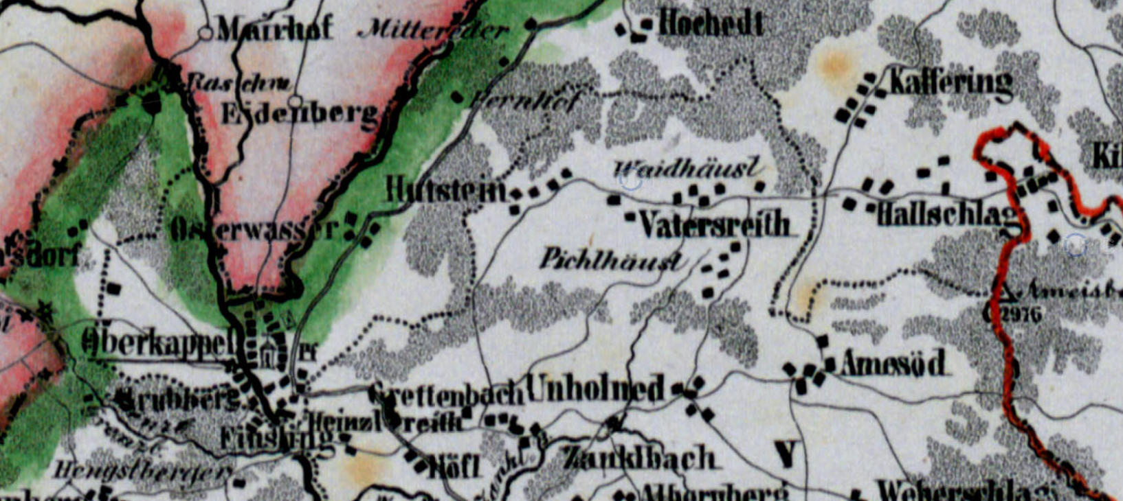
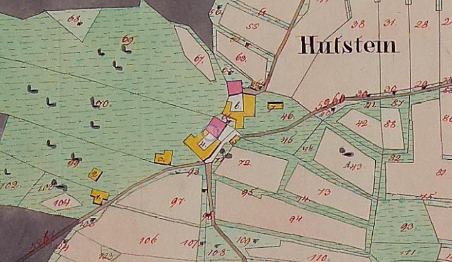
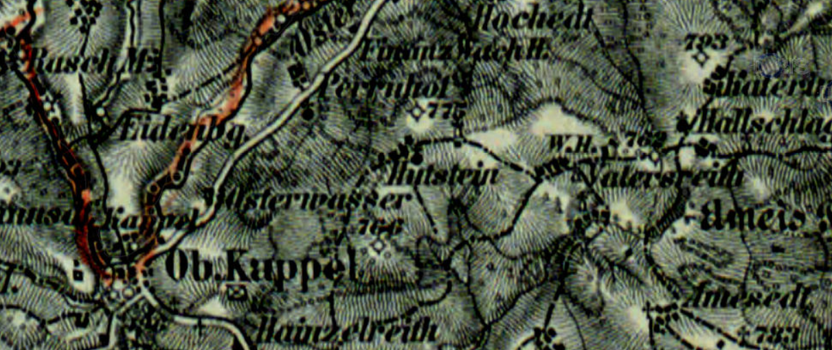
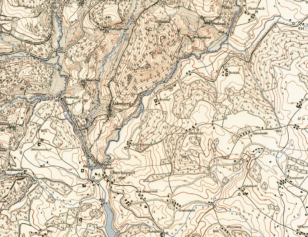
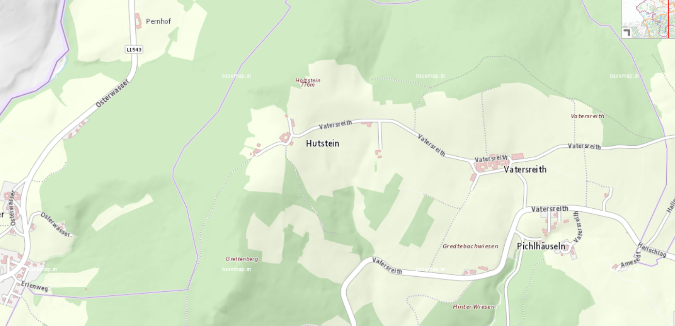
A short overview of different historical maps showing the area of Hutstein in Upper Austria and its graphical depiction:

Family Research
A short overview of different historical maps showing the area of Hutstein in Upper Austria and its graphical depiction: